Algonquin’s Big Trout Lake Loop has it all with easy access off of Canoe Lake’s Highway 60 Access Point. With scenic landscapes, big and small lakes, creeks, rivers, wetlands and most importantly, short portages; it’s known as one of the more popular backcountry destinations in Algonquin Park.
Trip Date: August 25-30, 2020
Here is a recount of our canoe trip through Algonquin’s Big Trout Lake Loop. As you can see in the map image below, we did the loop counter clockwise spending our first night on Burnt Island Lake. Then after making our way up the Otterslide we stayed at Big Trout Lake and White Trout Lake. We made our last camp at McIntosh Lake to complete the loop. If you haven’t already, check out our video log of the loop as well!
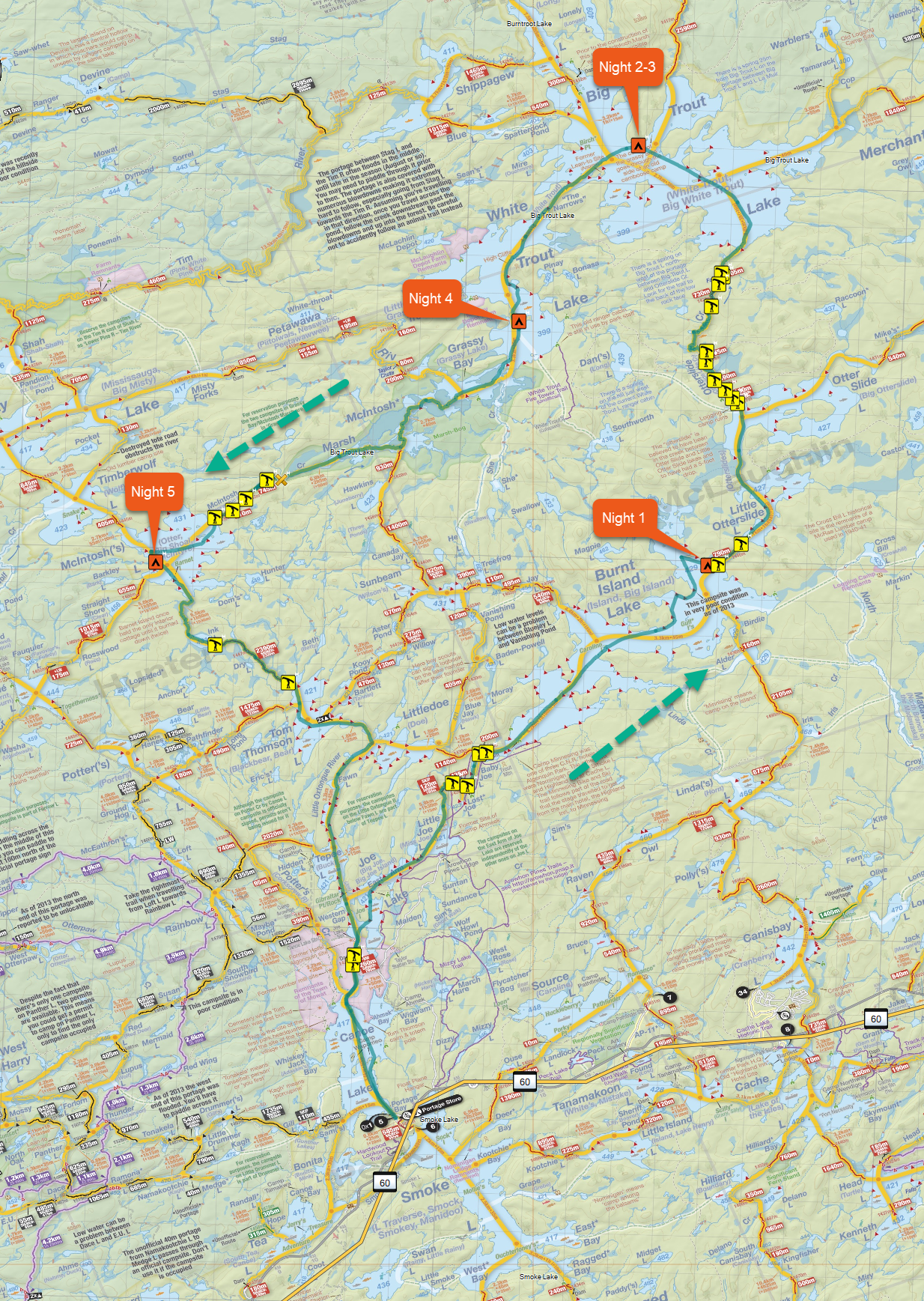
Distance: 80.6 km
Area: 123 sq km
Ascent: 1268 m
Descent: 1269 m
Highest Elevation: 447 m – Ink Lake Portage
Lowest Elevation: 407 m – White Trout Lake Campsite
Day 1
With an early start to the day, we managed to reach the Canoe Lake Access Point at 7 in the morning. This year there was no requirement to stop and check-in at the permit office so we got the best parking spot, unloaded, and off we went.
The first portage from Canoe Lake is a quick and easy 260m (Signed 295m) that leads into Joe Lake. Taking the East arm up Joe Lake we have now officially started our loop as we’ll be coming back on the other arm of Joe lake for the return. After the East Arm, you enter Little Joe Lake. This is the last lake that has buildings and road access. There is a 120m (Signed 165m) portage at the end of Little Joe Lake which we were able to easily skip. Continuing along, you will end up at the 435m portage into Baby Joe Lake. This portage also gives you access to Lost Joe Lake, but I recommend you stick to the left and complete the remainder to end up at Baby Joe Lake. Now we’re beginning to enter the wilderness area.
The last portage of the day is a quick 200m from Baby Joe to Burnt Island Lake. We were welcomed by a nice sandy beach with a well maintained trail into our destination lake for the night.
We spent the remainder of our day paddling across Burnt Island Lake, checking out a few campsite locations, and battling the wind in some parts. Thankfully because of our early start, that left us with plenty of time to get to a campsite. We decided on making camp at the closest campsite to the portage, to have a little advantage for tomorrow.
Day 2
With another beautiful day in sight, we began our trek by starting the nearby 790m portage from Burnt Island Lake into Little Otterslide Lake. This was our first of 5 for the day, but turned out to be a nice walk in the park with no bugs out this time of year. Little Otterslide and Otterslide lakes turned out to be beautiful lakes with amazing landscapes. We didn’t camp there but it may be somewhere I might stay next time doing this loop.
Making our way up Otterslide Creek after passing through the Otterslide lakes, we found ourselves portaging alongside the creek in some parts starting with the 190m (Signed 250m) which made a nice view along the portage. The Otterslide creek consisted of another 390m, 265m, then after a long windy creek the 730m. The last portage is a quick 105m but it passes by a beautiful falls on the left which we went and took some videos of after we finished.
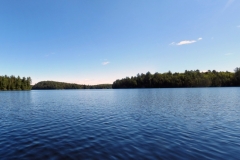
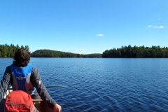
We are now in Big Trout Lake. Unusually calm, we paddled straight through the middle of the lake (not recommended when it’s windy) and made camp on a point on the north end of the lake facing the narrows into White Trout. This will be our camp for the next 2 nights. After not long of being at camp, I captured a picture and video of a loon congregation, probably the most loons I have seen together at once before. Doing some research after the trip I have learned that this is common for loons late in the season, and on big lakes just before migration.
Day 3
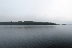
The weather took a bit of a turn and we woke up to a cool rainy morning, so we setup the Tarp and made due with what we were given. Since it’s our rest day we didn’t have to worry about packing up which was convenient. We spent the morning under the tarp having some tea and coffee until the rain subsided, then we sourced some firewood and warmed up by the fire. I split some nice cuts of Spruce and got ready to do some wood carving / coal burning this evening. The late afternoon was absolutely picturesque with a misty background. Being on a point, we were able to see the majority of Big Trout L from our campsite. I was able to take some panoramic shots and nice pictures of the loons in the distance.
Day 4
With the rain tapered off we left our site just before noon as we did not have far to go today. Additionally we had no portaging to do today. Our destination lake today is White Trout lake. We made our way across big trout and entered The Narrows taking pictures along the way. Once we got into White trout we were amazed by the high cliffs on the east side of White Trout with the trees that appeared to be growing right off the side of the cliff.
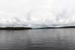
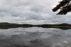
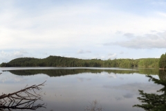
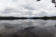
We made camp on an island site on the south end facing our route through Grassy Bay and McIntosh Marsh for the next day of travel. This lake was very calm with water of glass by afternoon. This made for more great photographs and panoramic shots which you can see below.
Day 5
Waking up to pouring rain made for a fun start to our journey today. Knowing that we need to stay on schedule to make it back to work on time Monday, we left our site around Noon once the rain had tapered off a bit. Although, that left our gear being packed mostly wet. Despite the rain there was no lightning so we made our way into Grassy Bay. We followed the posted signs for McIntosh Creek via McIntosh Marsh. Leading up to the first portage of the day, I marked a beaver dam on my GPS that we had to carry over. It was not passable with the canoe. I have the GPX files/ maps above for reference.
The 745m portage was quite nice with a couple walking bridges passing over the creek. This made for a nice walk, despite our gear being slightly heavier from the rain and wood carvings I added to the gear. With that portage done there was just one more, a 510m leading into McIntosh Lake.
We paddled across McIntosh lake camping on the mainland west side. With access to more firewood than island sites, we used this to our advantage and dried out most of our gear over the fire.
Day 6
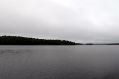
The campsite on McIntosh lake was a great spot, and lifted our spirits when the sun started poking out in the morning. I got a nice shot of McIntosh Lake from the point on the campsite where we stayed the night.
Without wasting any time we left Mcintosh Lake, down the river into Ink Lake. It was quite a nice wetland to paddle though. Although I didn’t bring the fishing rod, I definitely would have dropped a line in there if I had one.
Once across Ink Lake we arrived at our second last portage of the trip. The longest one clocking in at 2390m (Signed 2320m). I assumed we could do the portage in about an hour, but it ended up taking us 2 hours as we did double carries. So after hiking just under 5k with our gear we were happy (as were others) to be done the portage. We took the muddy exit and got our feet wet and muddy as we pushed ourselves into Tom Thompson Lake.
From here on we had a longer paddle, but no portages. Traveling south we went from Tom Thompson, into the corner of Littledoe Lake. Then down Little Oxtongue River, through Tepee Lake, and officially completed our loop at the south end of Joe Lake.
We repeated the quick 260m (Signed 295m) into Canoe Lake from Joe. At the south end of Canoe Lake we made our exit at the put in near our great parking spot.
I hope that you enjoyed this article as much as I enjoyed making it! If you plan on doing this route and want some tips, drop a comment below and I’d be happy to chat.
Overall, if your looking for a quick access backcountry route in Algonquin, the Big Trout Lake Loop is a Go-To. (if you don’t mind seeing other people)
One thought on “Big Trout Lake Loop – Algonquin”